In the next article we are going to take a look at JOSM. Is about an extensible offline editor for OpenStreetMap (OSM) written in Java. The project OpenStreetMap recommends its use in front of other editors, especially if you are going to carry out intense work of editing or importing data. This program is released under the GNU General Public License (LPG) version 2, although the add-ons it allows may use other licenses.
Java OpenStreetMap is a Free and open source offline map editor for Gnu / Linux, Windows and MacOS. With this software we can edit the OSM data (nodes, shapes and relationships) and its metadata tags. Supports uploading of GPX tracks, background images, and OSM data from local sources, as well as online sources. In addition we it will allow to extend its functions through plugins, presets, rules and styles.
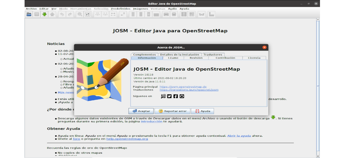
JOSM is an acronym for Java OpenStreetMap. This program is free software for the desktop and is programmed in Java. It has been intended for data editing in the OpenStreetMap project. The program has numerous advanced features, which makes its learning curve greater than that of other editors. It is very popular with contributors who already have some experience with OpenStreetMap, which makes it the one with the highest number of edits in the project database.
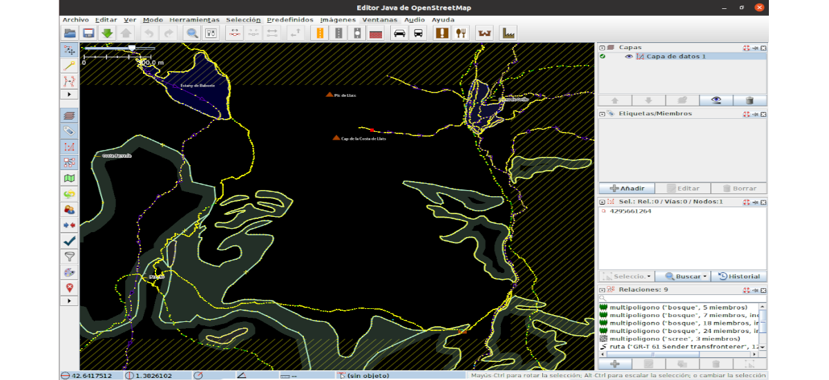
Some of the most notable features of JOSM are the import of GPX files, allowing work with satellite images or orthophotos through standardized protocols, support for multiple cartographic projections, information layer management, relationship editing, error validation, filters and rendering styles among others.
General characteristics of JOSM
Among others, the following features can be found in the program:
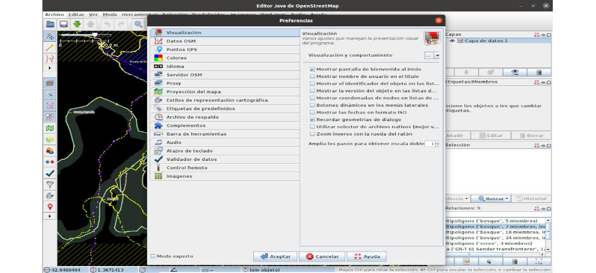
- Available common GIS desktop interface tools; Toolbar customization, view control (zoom, pan, etc.), management of styles, icons and layers.
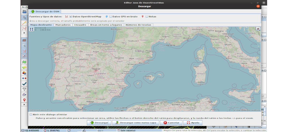
- We can download and upload vector data from OSM.
- Our allows to open local data; NMEA-0183 files (.nmea, .nme, .nma, .log, .txt), OSM files (.osm, .xlm, .osmbz2, .osmbz), OSM change file (.osc, .osc.bz2 , .osc.bz, .osc.gz), Images (.jpg)
- Allows view base maps from OSM, Bingsat, Lansat, MapBox satellite, MapQuest Open Aerial or any other WMS source.
- It has editing tools; Nodes- Merge, join, peel off, distribute, circle align, line align, join node to path, and more. Forms: split, combine, invert, simplify, take off shapes and more. Areas- Join overlapping areas, create multiple polygons, and more. Audio mapping: management of survey recording. Photo mapping: management of survey photos.
- Many of the additional features are available through third-party add-ons that are downloaded from within the program itself..
Install JOSM Java OpenStreetMap Editor on Ubuntu Linux
This is cross-platform software and is included as a package in many GNU / Linux distributions, such as Ubuntu. It can be found available in archives .jar and .jnlp executables that do not require installation. Although for this example, we are going to see how we can install it as a flatpak package, as it is also available in Flatub.
Before starting, if you use Ubuntu 20.04 and you still do not have this technology enabled on your computer, you can continue The Guide that a colleague wrote on this blog a while ago. Then you just need to open a terminal (Ctrl Alt T) and run the following install command:
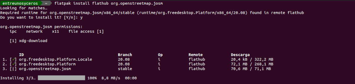
flatpak install flathub org.openstreetmap.josm
After the installation, we can run the program looking for the launcher on our computer, or we will also have the possibility of starting the program by typing in the terminal:

flatpak run org.openstreetmap.josm
For edit and download sample examples, we will only have to visit the following links to obtain instructions on how to obtain them.
uninstall
It can uninstall Java OpenStreetMap Editor opening a terminal (Ctrl Alt T) and executing the command in it:
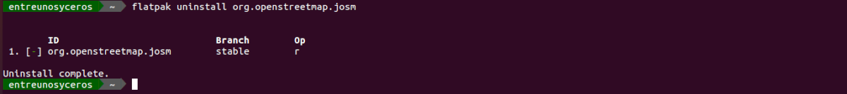
flatpak uninstall org.openstreetmap.josm
For know more about this program, users can go to the project website or its Wiki.